There’s no single best place to start a Salar de Uyuni tour. The right start is the one your route already passes through. Answer three questions and you’ll have it:
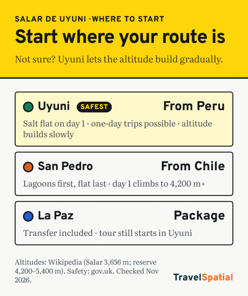
- Where are you coming from? Peru or La Paz → start in Uyuni. Northern Chile → start in San Pedro de Atacama.
- Where are you going next? Most multi-day tours run one way, so pick the direction that drops you where you need to be.
- How well acclimatised are you? If you aren’t, start in Uyuni, not San Pedro. The “Altitude decides” branch below explains why.
Here’s each branch in turn.
The three starts at a glance
| Start | Choose it if… | Watch out for |
|---|---|---|
| Uyuni (Bolivia) | You’re coming from La Paz or Peru, or you only want a one-day salt flat trip | Getting there overland can be hit by road blockades |
| San Pedro de Atacama (Chile) | You’re already in northern Chile and heading north into Bolivia | Day one climbs from desert town to over 4,000 m |
| La Paz (Bolivia) | You want an agency package that includes getting you to Uyuni | You still start in Uyuni, after a long transfer |
If you’re coming from Peru or La Paz: start in Uyuni
This is the classic way round on the Andes backpacker route, which we map in 5 Classic Backpacking Routes: Cusco, Lake Titicaca and La Paz, then south to Uyuni. The salt flat comes first, on day one, and the tour then heads south through the lagoons of the Eduardo Avaroa reserve. At the end you either loop back to Uyuni or get dropped at the Chilean border for San Pedro.
It’s also the only start that works for a one-day trip to the salt flat itself, without the lagoons. In that route guide, a 3-day budget jeep tour was about US$150–180, with Bolivia Hop as the source.
If you’re coming from Chile: start in San Pedro, if you’re acclimatised
From San Pedro de Atacama, tours cross into Bolivia at the Hito Cajón border, run the lagoons first and finish on the salt flat, ending in Uyuni. That’s ideal if you’re heading north to La Paz anyway.
Going the other way, into Chile at the end of a tour from Uyuni? Chile requires every adult to declare all plant and animal products, whatever the quantity, and gives fines for false declarations. You can fill in the free form online at ingresoachile.cl (SAG, checked November 2026). Finish your tour snacks before the border.
Altitude decides more than geography
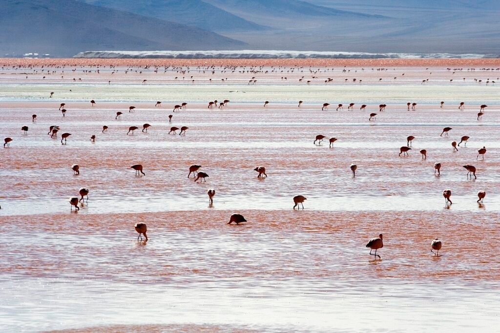
This is the branch most people skip. The salt flat lies at about 3,656 m (Wikipedia). The Eduardo Avaroa reserve to the south sits between 4,200 m and 5,400 m, with Laguna Colorada at 4,278 m (Wikipedia).
- Starting in Uyuni, you build up gradually: weeks in the Andes, then the salt flat, then the high lagoons.
- Starting in San Pedro, a town much lower down in the Atacama, you go almost straight up into the reserve on the first day, and many tours spend a night in high, basic lodging.
Our tip: if you’ve just flown into northern Chile from sea level, spend a few days in San Pedro before you go, or reverse your plan and start from the Bolivian side.
If you want an all-in package: book from La Paz
La Paz agencies sell tours that include the transfer south. That saves you a booking, but the tour itself still starts in Uyuni, and you pay for the convenience. Book from La Paz if you’re short of time or don’t want to deal with transport. Book in Uyuni if you’d rather meet the operator and see the vehicle first.
If you want the mirror: go in the wet season
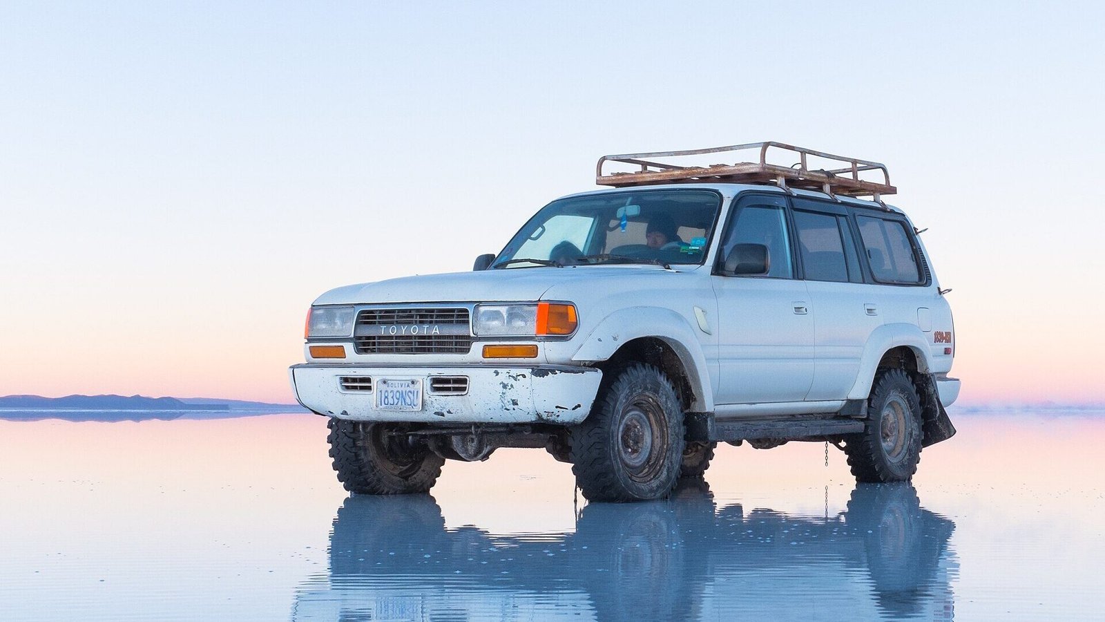
The famous sky reflections happen when a thin layer of water covers the flat, during the rainy season, roughly December to April (Wikipedia). The trade-off is that heavy water can block parts of the usual routes, and in Bolivia’s rainy season, November to March, landslides can close roads (gov.uk). In the dry months you get the white, cracked salt crust instead, and easier driving.
Whichever start: choose the operator carefully
This matters more than where you start. The UK government says there are no official minimum standards for tour operators in Bolivia and advises using only reputable companies (gov.uk, checked November 2026). Wikipedia’s Salar de Uyuni article records 16 reported accidents and more than 30 deaths, linked to vehicles, drivers and the lack of regulation.
- Ask to see the vehicle, and check for seatbelts, a spare tyre and a working radio or satellite phone.
- Ask who the driver is and refuse any tour with a driver who has been drinking.
- Ask what happens if someone gets altitude sickness: where’s the nearest lower ground on each day’s route?
Before you commit: blockades and paperwork
The UK government’s Bolivia advice (last updated 22 September 2026) describes a state of emergency, road blockades that have caused fuel and food shortages, and regular fuel shortages. Its advice: don’t try to cross a blockade (gov.uk). Build a spare day either side of the tour, and check your travel insurance covers high-altitude travel.
UK passport holders can visit Bolivia for up to 90 days without a visa. Make sure you get an entry stamp, or you’ll pay a fine when you leave (gov.uk entry requirements). Other nationalities should check their own rules.
The short answer
Heading south from Peru or La Paz? Start in Uyuni. Heading north from Chile and already used to the altitude? Start in San Pedro. Not sure? Uyuni is the safer start, because the altitude builds up gradually.
Want more routes like this? Sign up for the TravelSpatial newsletter and we’ll send new maps as they’re published.
Sources
- UK FCDO: Bolivia travel advice (updated 22 September 2026, checked November 2026)
- UK FCDO: Bolivia safety and security
- UK FCDO: Bolivia entry requirements
- SAG Chile: sworn declaration on entry (checked November 2026)
- Wikipedia: Salar de Uyuni
- Wikipedia: Eduardo Avaroa Andean Fauna National Reserve
Photo credits
- Reflection on the Salar de Uyuni, bolivia cropped by Christopher Crouzet, CC BY-SA 4.0, via Wikimedia Commons
- Andean Flamingos Laguna Colorada Bolivia Luca Galuzzi 2006 by Luca Galuzzi (Lucag), CC BY-SA 2.5, via Wikimedia Commons
The infographic is original to TravelSpatial. Photos are used under the licences linked above.